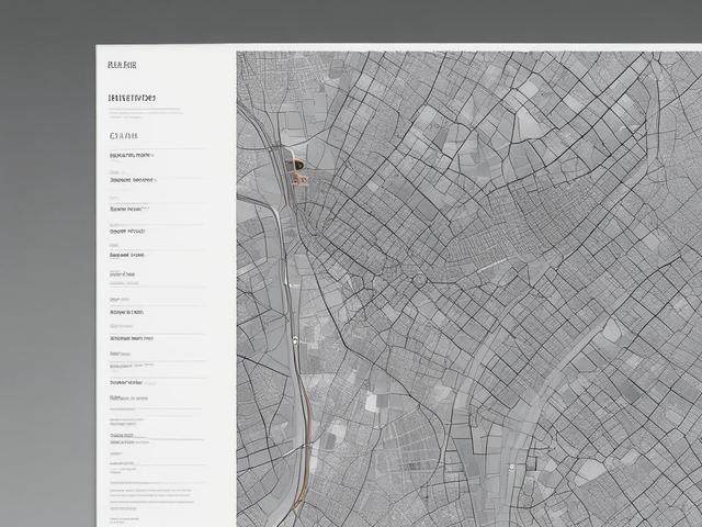
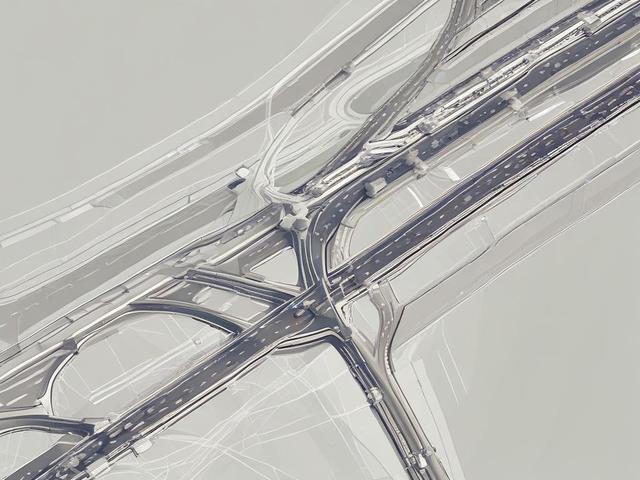
At Advanced Geospatial, we specialize in urban mapping solutions that empower city planners and developers. Our state-of-the-art technology provides accurate geospatial data, enabling informed decision-making for urban development projects. We utilize high-resolution aerial imagery, LiDAR data, and advanced data analytics to create detailed maps that highlight key infrastructure, land use patterns, and environmental features. By leveraging our expertise, clients can optimize land use, enhance public services, and promote sustainable growth within their communities. Our commitment to precision and innovation ensures that stakeholders have the best tools at their disposal for effective urban planning.